Geospatial Database of Airport
All airports in India, regardless of their size and geographical location needs to upgrade or expand their infrastructure to accommodate an increase in capacity, enhance the efficiency of their processes and the overall customer experience.
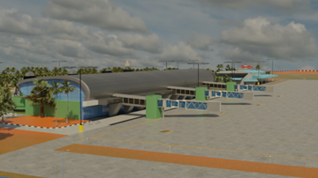
We had the opportunity to work with one of the airports in India to utilize all the advanced 3D geospatial technologies to do a detailed 3D survey of airport physical infrastructure including underground utilities combining with the revenue information to create a 3D model of the airport and a web GIS platform.
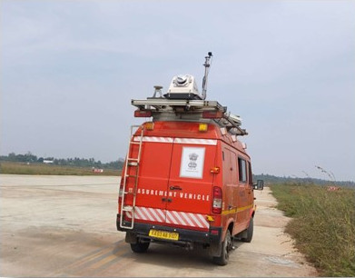
For field data collection, we used multiple state of the art hardware systems including IRIS mobile mapping system, Trinity F90+ drone with multiple payloads and one utility GPR. IRIS is a custom configurable mobile lidar system which can have various mobile lidar sensors, imagery sensors. Though we can deploy mm level accurate laser scanners for pavement condition studies, this project demanded standard mobile lidar sensor only and we deployed Teledyne Optech Lynx lidar sensor. Trinity F90+ is a hybrid UAV designed for surveying and mapping purpose. For this project, we used the imagery payload and lidar payload for data collection. One utility GPR was used for collecting the underground utilities.
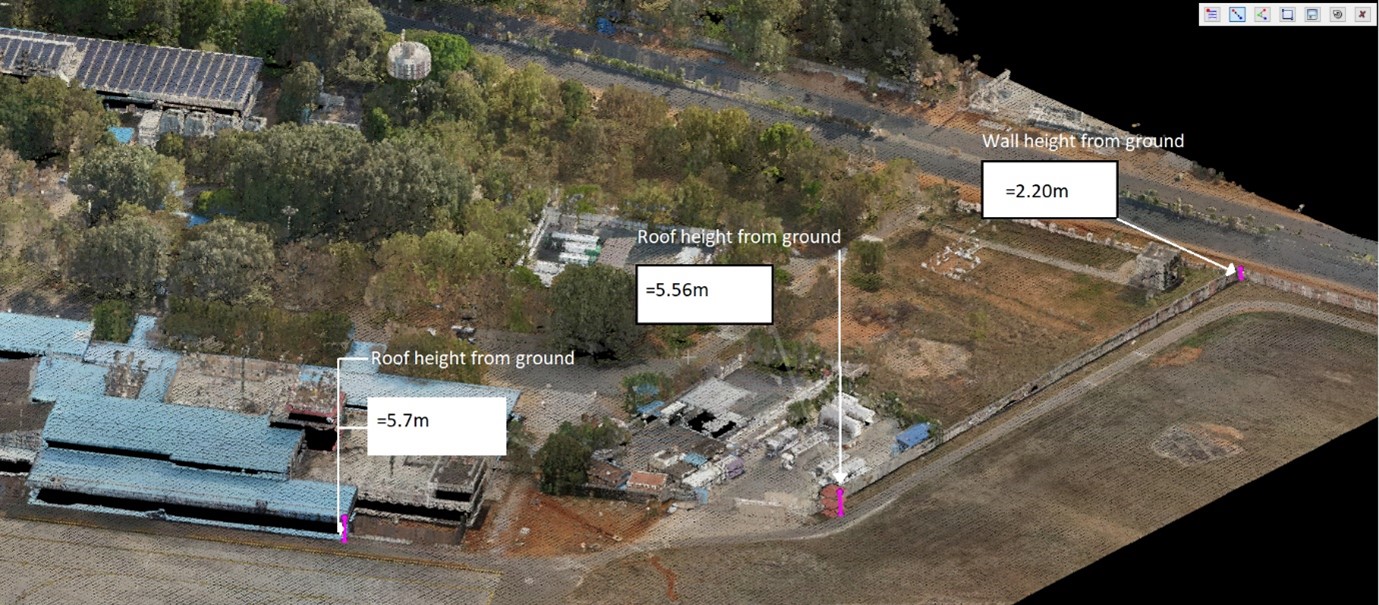
All these field data were tied together with a precise ground control network. Quality control of the filed data collected were done during each stage of pre and post processing. By combining the mobile and UAV data, we were able to generate 3D point cloud data sets and photographs, at high speed, which were used for 3D modelling of the airport. The combined technology of 3D Mobile LiDAR & UAV (unmanned aerial vehicle) / drone were used for preparing the 3D base map of the airport land with an accuracy of +/- 5 cms.
3D models and Digital Twin would help us tremendously since expansive planning and designing takes a large chunk of airport operators time and effort to figure out precise detailing. Some of the key benefits of these 3D models are as follows:
- Improved safety and land use compatibility planning
- Enables route optimization, obstacle limitation studies and simulation models for improvement of airfield design.
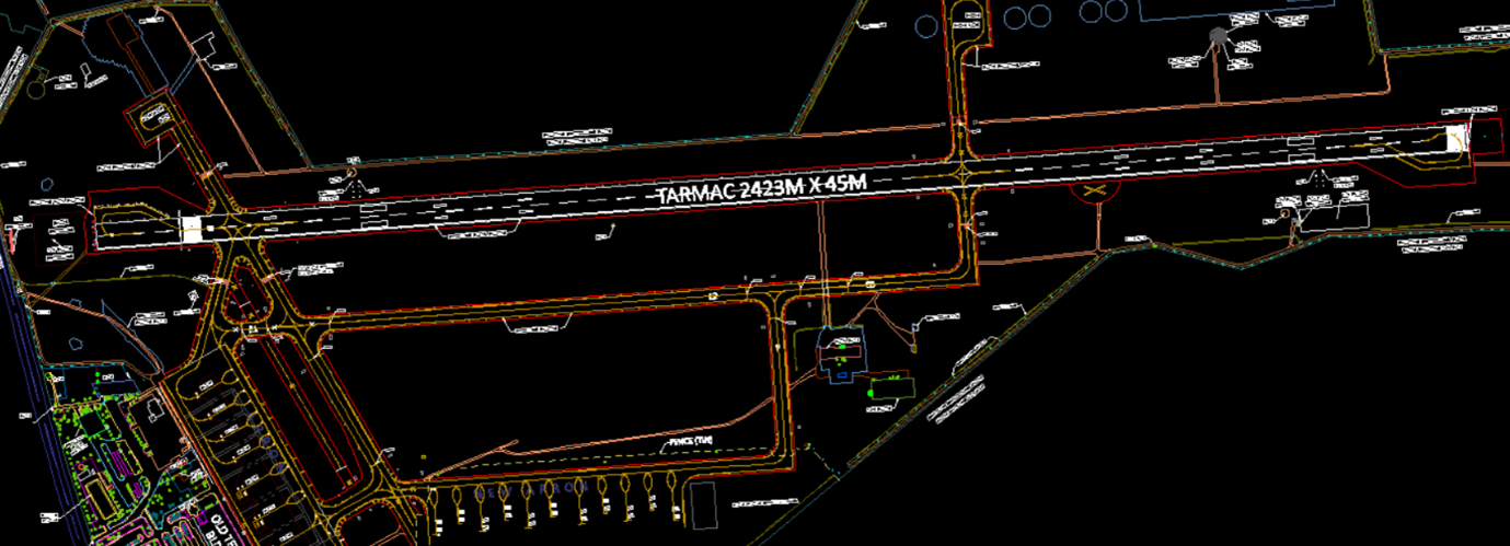
- Exact up-to-date information on airport infrastructure assets with exact 3D location.
- Easily leverages 3D geodata to enable quick decision making for understanding the overall picture of the airport.