YELLOW SCAN
LiDAR solutions that ensure high quality data for 3D mapping applications.
YELLOW SCAN
LiDAR solutions that ensure high quality data for 3D mapping applications.
Products
YELLOWSCAN NAVIGATOR BATHYMETRIC & TOPOGRAPHIC LIDAR
PRODUCT DETAILS
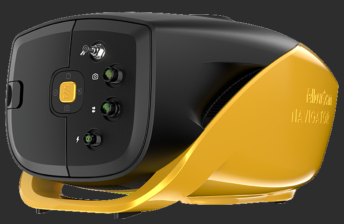
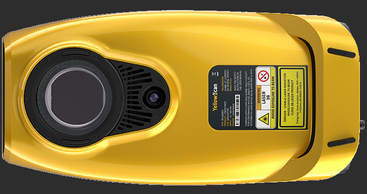
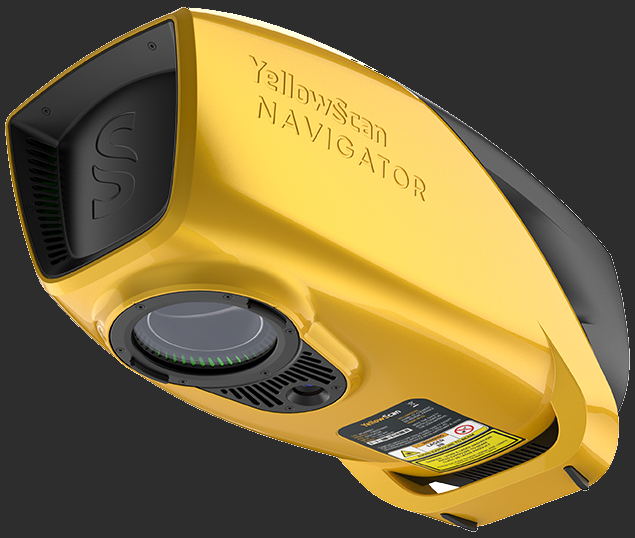
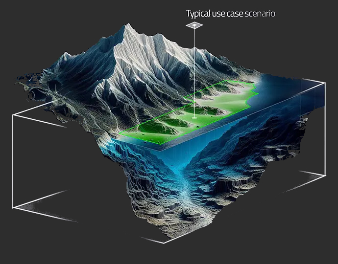
The YellowScan Navigator is an innovative bathymetric LiDAR solution for mapping water surface and underwater topography with a single-button operation. Its compact design allows for operating on various UAV platforms without compromising water penetration.
Key Differentiators:
- Topography & water mapping
- Easy to use and process
- Safe operational range
YELLOWSCAN MAPPER
PRODUCT DETAILS
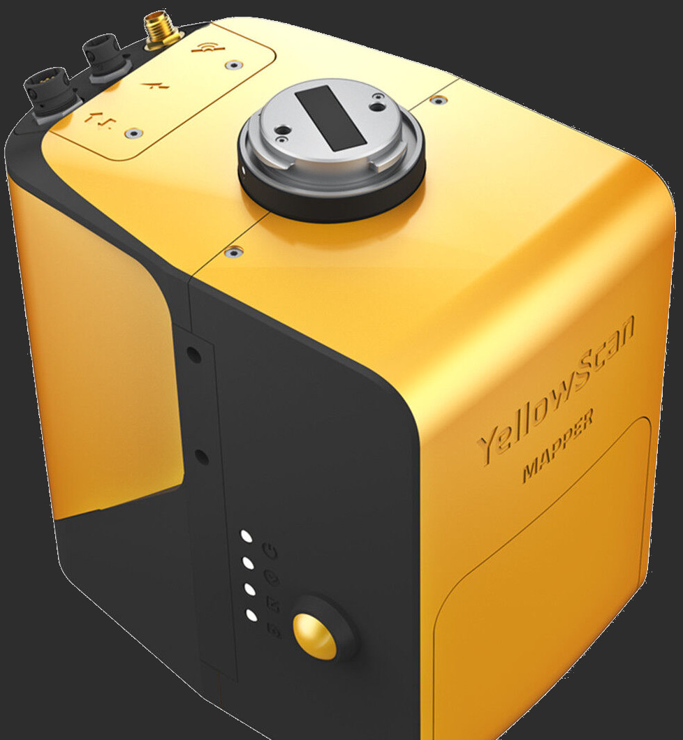
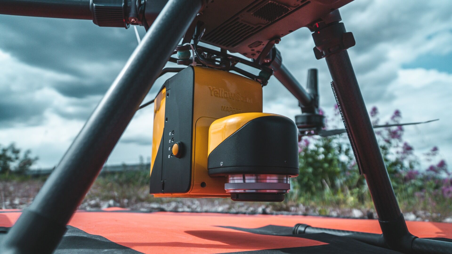
YellowScan Mapper is a Livox UAV LiDAR-based system.
Features:
- Multi-Echo Livox Horizon Laser Scanner
- Calibrated APX-15 GNSS-Inertial Board
- Integrated Battery (Plus One Spare)
- Battery Charger and Data Cables
- 2 x Connectors for External Sensor
- Rugged Transport Backpack with Customized Foam
- 1-Year Warranty & Support
- 1 Remote Healthcheck
- 1.5/1.3 kg (Battery Included/Excluded)
- 60 Min Autonomy
YELLOWSCAN MAPPER & CAMERA MODULE KIT
PRODUCT DETAILS
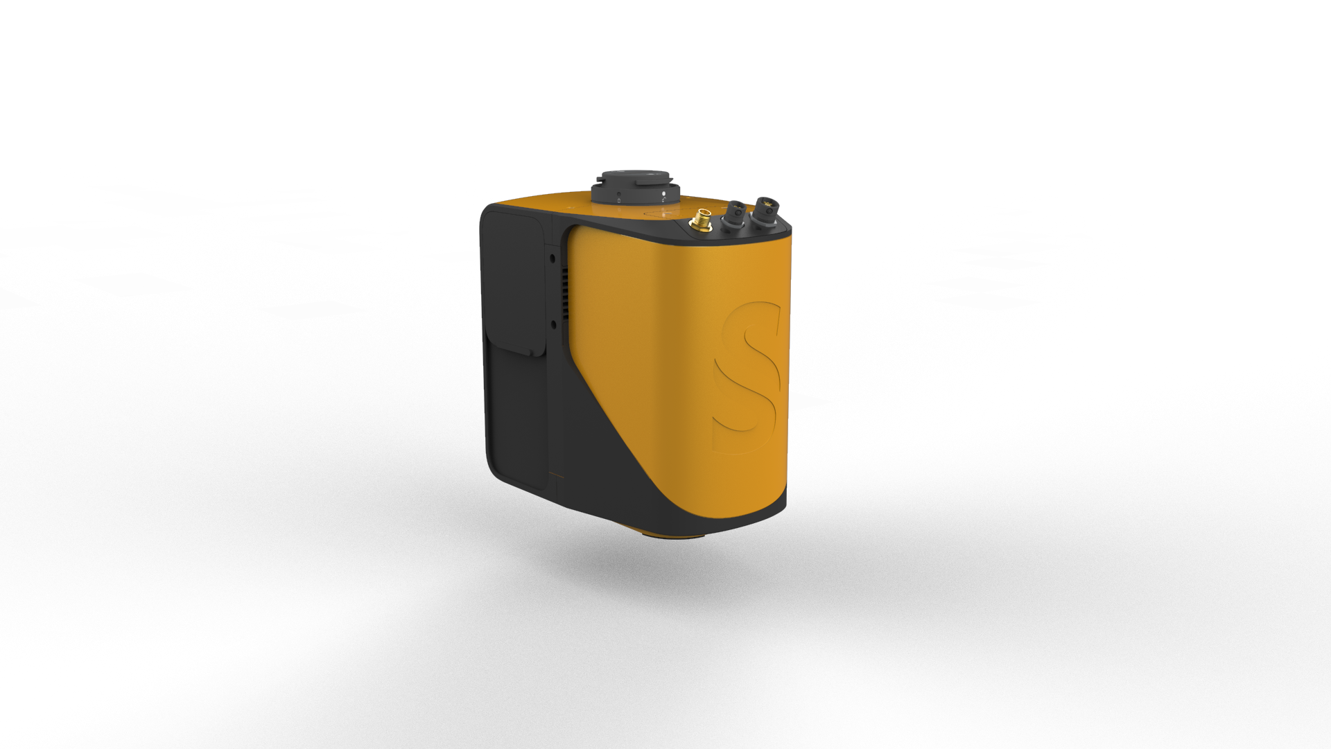
YellowScan Mapper & Camera Module KIT is a Livox UAV LiDAR-based system.
Features:
- Multi-Echo Livox Horizon Laser Scanner
- Calibrated APX-15 GNSS-Inertial Board
- GNSS Antenna and Cable
- Integrated Battery (Plus One Spare)
- Battery Charger and Data Cables
- 2 x Connectors for External Sensor
- Rugged Transport Backpack with Customized Foam
- 1-Year Warranty & Support
- 1 Remote Healthcheck
- 1.5/1.3 kg (Battery Included/Excluded)
- 60 Min Autonomy
YELLOWSCAN MAPPER+
PRODUCT DETAILS
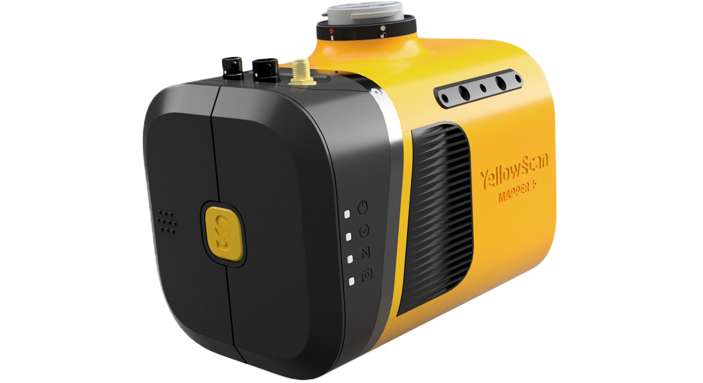
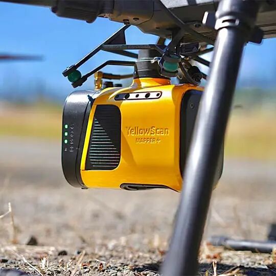
The YellowScan Mapper+ integrates Livox laser scanner together with high performance GNSS-aided inertial navigation system.
Features:
- Multi-Echo Livox Avia Laser Scanner
- Calibrated APX-15 GNSS-Inertial Board
- GNSS Antenna and Cable
- Integrated Battery (Plus One Spare)
- Battery Charger and Data Cables
- 2 x Connectors for External Sensor
- Rugged Transport Backpack with Customized Foam
- 1-Year Warranty & Support
- 1 Remote Healthcheck
- 1.3/1.1 kg (Battery Included/Excluded)
- 60 Min Autonomy
YELLOWSCAN EXPLORER
PRODUCT DETAILS
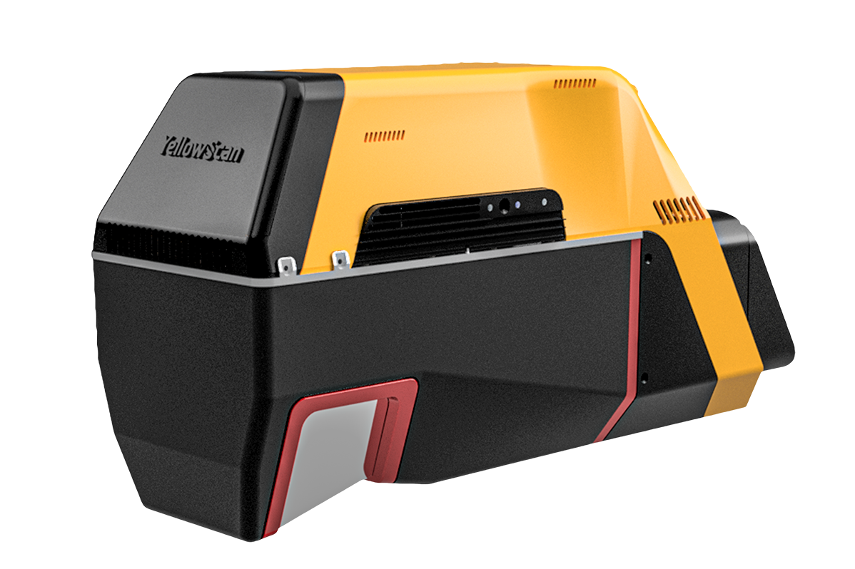
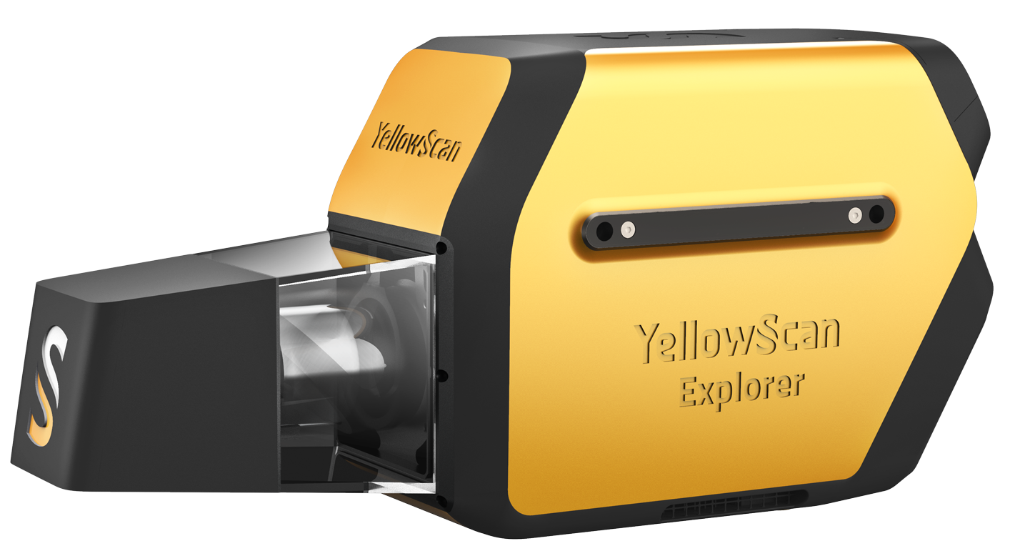
The YellowScan Explorer is the first LiDAR that can be mounted on a light manned aircraft or helicopter and be switched to a UAV platform.
Features:
- Multi-echo Long Range Laser Scanner (Up to 5)
- Calibrated APX-20 GNSS-Inertial Board
- GNSS Antenna and Cable
- Integrated Battery (Plus One Spare)
- Battery Charger and Data Cables
- 3 x Connectors for External Sensor/Camera
- Rugged Transport Backpack with Customized Foam
- 1-Year Warranty & Support
- 1 Remote Healthcheck
- 2.6/2.3 kg (Battery Included/Excluded)
- 80 Min Autonomy
YELLOWSCAN VOYAGER 20
PRODUCT DETAILS
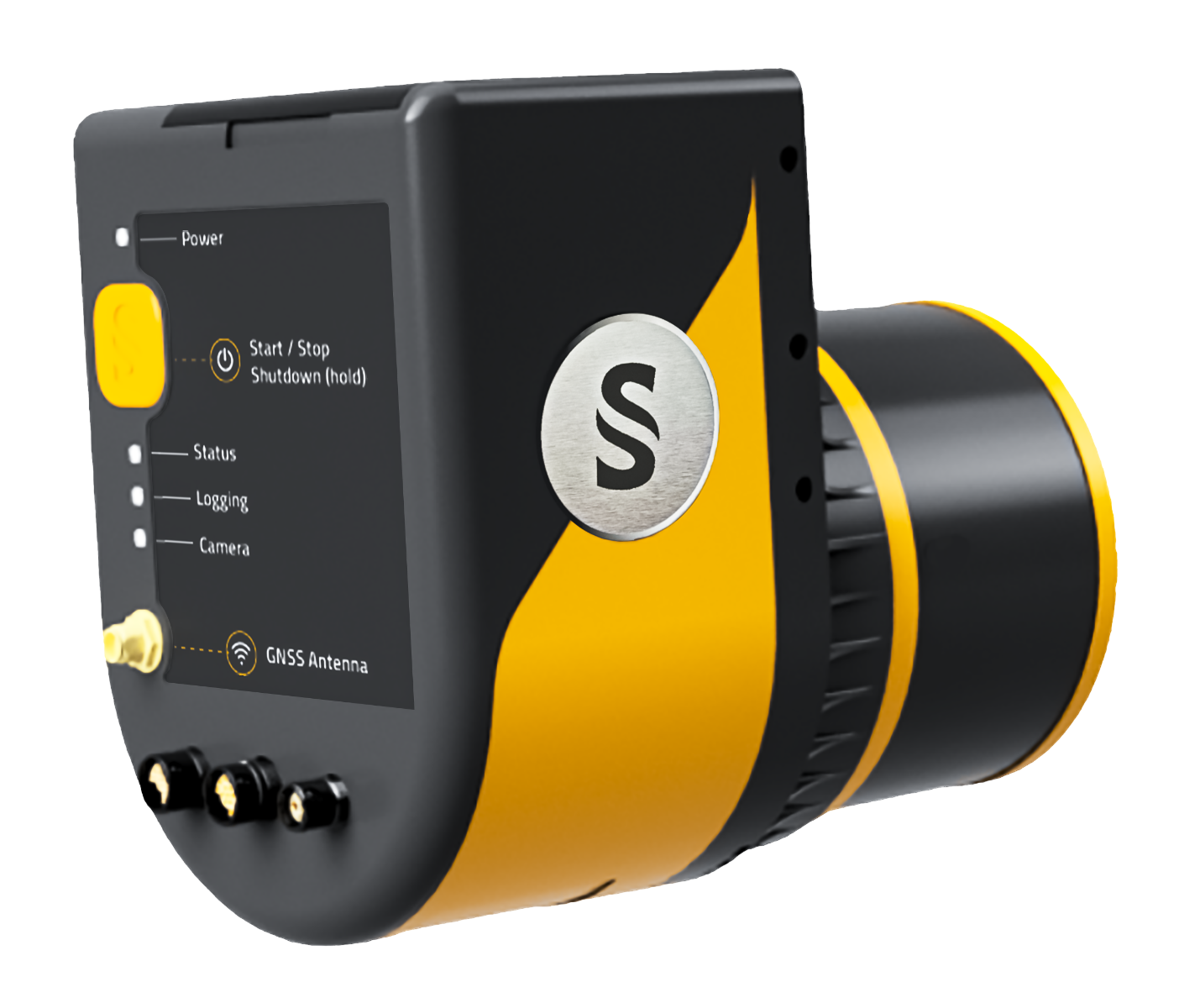
The YellowScan Voyager 20 is a powerful solution for both manned and unmanned aircrafts. Its extremely fast data acquisition rate of up to 1800 kHz, makes this solution the best option for projects requiring the highest point density.
Features:
- Multi-Echo RIEGL Vux120 Laser Scanner
- Calibrated APX20 Air GNSS-Inertial Board
- GNSS Antenna and Cable
- Integrated Battery (Plus One Spare)
- Battery Charger and Data Cables
- 3 x Connectors for External Sensor/Camera
- Rugged Transport Backpack with Customized Foam
- 1-Year Warranty & Support
- 1 Remote Healthcheck
- 3.8kg (Battery Included)
- 60 Min Autonomy
YELLOWSCAN VOYAGER 50
PRODUCT DETAILS
The YellowScan Voyager 50 is a powerful solution for both manned and unmanned aircrafts. Its extremely fast data acquisition rate of up to 1800 kHz, makes this solution the best option for projects requiring the highest point density.
Features:
- Multi-Echo RIEGL Vux120 Laser Scanner
- Calibrated AP+ 50 AIR GNSS-Inertial Board
- GNSS Antenna and Cable
- Integrated Battery (Plus One Spare)
- Battery Charger and Data Cables
- 3 x Connectors for External Sensor/Camera
- Rugged Transport Backpack with Customized Foam
- 1-Year Warranty & Support
- 1 Remote Healthcheck
- 4.1kg (Battery Included)
- 60 Min Autonomy
YELLOWSCAN SURVEYOR ULTRA
PRODUCT DETAILS
YellowScan Surveyor Ultra is a UAV LiDAR system integrating the Hesai XT32M2X sensor for 3D Mapping. It is suited for high-speed UAV and long-range needs.
Features:
- 3-Echo Hesai XT32M2X Laser Scanner
- Calibrated APX-15 GNSS-Inertial Board
- GNSS Antenna and Cable
- Integrated Battery (Plus One Spare)
- Battery Charger and Data Cables
- 3 x Connectors for External Sensor/Camera
- Rugged Transport Backpack with Customized Foam
- 1-Year Warranty & Support
- 1 Remote Healthcheck
- 1.3 kg / 1.1 kg (Battery Included/Excluded)
- 80 Min Autonomy
YELLOWSCAN VX15-100
PRODUCT DETAILS
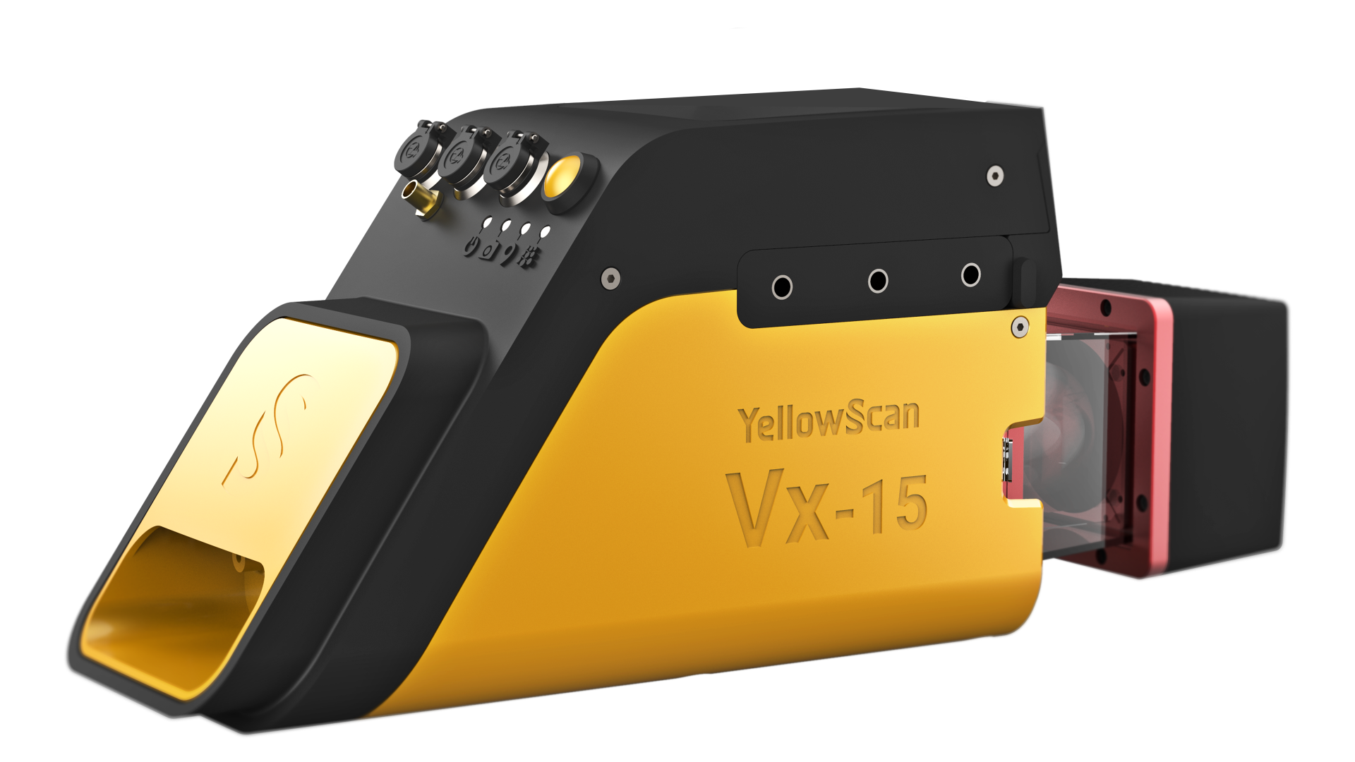
YellowScan Vx15-100 is the lightest system integrating the Riegl Mini-VUX. Allows over 25 min flight time maximizing your survey production.
Features:
- Multi-Echo RIEGL miniVUX-1UAV Laser Scanner
- Calibrated APX-15 GNSS-Inertial Board
- GNSS Antenna and Cable
- Integrated Battery (Plus One Spare)
- Battery Charger and Data Cables
- 3 x Connectors for External Sensor/Camera
- Rugged Transport Pelicase with Customized Foam
- 1-Year Warranty & Support
- 1 Remote Healthcheck
- 2.6 kg (Battery Included)
- 90 Min Autonomy
YELLOWSCAN VX20-100
PRODUCT DETAILS
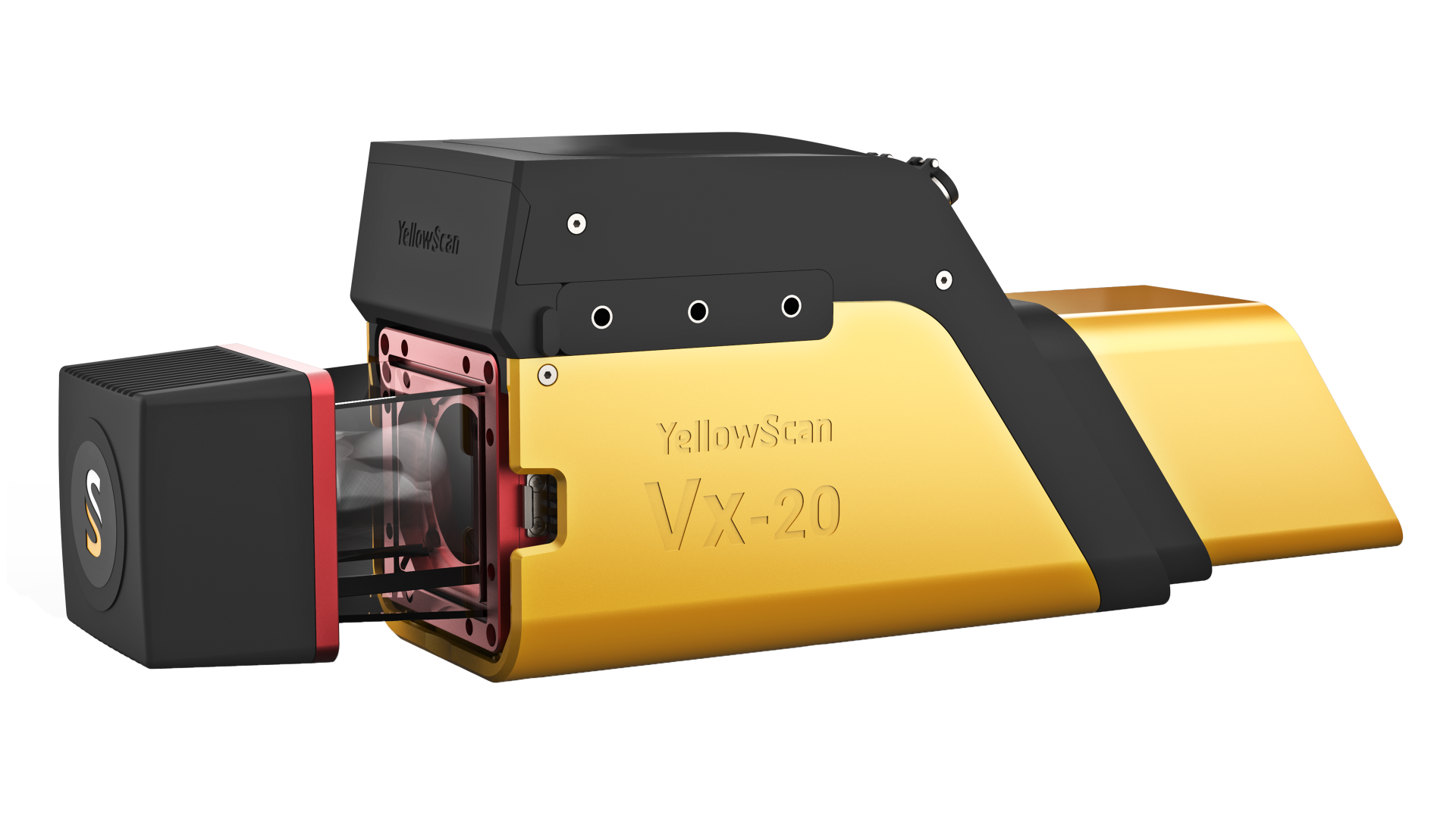
The YellowScan Vx20-100 is the most accurate fully integrated system from YellowScan's product range. It can fly up to 100m while maintaining accuracy throughout the point cloud.
Features:
- Multi-Echo RIEGL miniVUX-1UAV Laser Scanner
- Calibrated APX-20 GNSS-Inertial Board
- GNSS Antenna and Cable
- Integrated Battery (Plus One Spare)
- Battery Charger and Data Cables
- 3 x Connectors for External Sensor/Camera
- Rugged Transport Pelicase with Customized Foam
- 1-Year Warranty & Support
- 1 Remote Healthcheck
- 2.8 kg (Battery Included)
- 90 Min Autonomy
